In this meeting, we had some members of the Village Council came to discuss the survey and formulate questions for the survey.
I had been anticipating for this meeting from the week before the scheduled meeting. Reading on the best practices for Participatory Mapping, imagining a crowd of residents all actively engaged in the formulation of questions and having in-depth discussions of how to make the survey and mapping a success and that all three subject areas were amply covered with well crafted questions.
There was a definite shift of expectations and reality.
In reality, there were five persons during the entirety of the meeting (most would be discouraged). We did have in-depth discussions of the survey and the issues that the community faced. The focused initially on the social issues - initially, they said they had nothing for the community to come together and socialize. Then they started to speak of the activities that the community would do when they came together. That they had special communal events for Carnival, Independence Day and after Christmas.
The conversation moved to recreational activities they would like to see continue and expanded upon. Then they spoke about what they would like to see in the community, with some prompting of what they think can achieve in the relative short term.
We formulated questions based on our discussion that we had. We were able to create relevant questions which they felt the community would be interested in finding out as well.
Lesson learnt: Never be discouraged by the numbers it is the quality that counts.
Friday, 25 November 2016
Thursday, 10 November 2016
Participatory Planning for Aripo - Mon 7th
 |
| Map brought into the GIS Lab for digitization. (A.Thorne. 2016.) |
The next steps are to hang up the confirmed maps of the entire community in the primary school for community members to fill out. There shall be overlays with the different themes outlined for each layer for residents and stakeholders to fill in. The maps shall be in the school for about three weeks to a month.
I am curious as to what areas and points would be labelled on the map so the base map comes to life with points and vectors full of information about Aripo.
Our next meeting, shall be to develop the survey questions which the community would like to ask itself to cover the important issues and opportunities. It is important to understand the final product which the community would like to have achieved to then understand the types of questions to be asked.
Friday, 28 October 2016
Top 5 Interesting Events & Sites of Aripo
Check out the following images and the captions are links to more information about each item.
1. The Aripo Cottage:
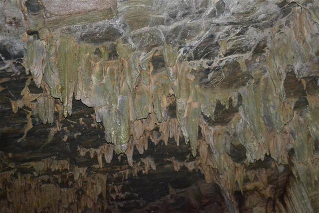
2. Aripo Caves with Oil Birds:
3. Independence Carnival in Aripo:
4. Research inb Watershed Management:
More sources of information about Aripo:
Paradise waiting to be explored: Great read!
http://www.trinidadexpress.com/news/Paradise_waiting_to_be_explored-127703668.html
The National Trust - Aripo Cacao Estate:
http://nationaltrust.tt/location/aripo-cacao-estate/
Aripo Cave No. 1 - Oil Birds:
http://sta.uwi.edu/ffa/geography/img/content/research/caves/cavedetails/Aripo_Cave_1.html
 |
| The Aripo Cottage |
 |
| Aripo Caves |
 |
| Aripo Oil Bird Cave - Chris Anderson |
3. Independence Carnival in Aripo:
 |
| Miss Aripo Independence Carnival Queen - Angelo Marcelle (Guardian) |
4. Research inb Watershed Management:

5. Cocoa Growing in Aripo:
 |
| Sustainability: Organic cacao in Aripo Trinidad. |
More sources of information about Aripo:
Paradise waiting to be explored: Great read!
http://www.trinidadexpress.com/news/Paradise_waiting_to_be_explored-127703668.html
The National Trust - Aripo Cacao Estate:
http://nationaltrust.tt/location/aripo-cacao-estate/
Aripo Cave No. 1 - Oil Birds:
http://sta.uwi.edu/ffa/geography/img/content/research/caves/cavedetails/Aripo_Cave_1.html
Friday, 21 October 2016
Drawing the Connections: Sun 16th Oct, 2016.
 |
| Labelled houses from the community. (D. Arlen. 2016) |
 |
| Members of the community filling out the map of their community. (D. Arlen. 2016) |

The energy in the room, from the members of the community, skyrocketed when they started to identify mapping their neighbours, friends and family. When it became personal, we felt that the members of the council took ownership of the project. The transfer of information also created a transfer of energy. Initially, the participants were more being informed and when they were explaining where each location is and how it relates to others they became the experts in the topic of Aripo and we became the informed.
It was really an interesting experience and I do hope that as the project continues that we see that the community continues to take more ownership of the project. To become For Aripo By Aripo.
 |
| Members of the community pointing our features on the map. (A. Thorne. 2016) |
Aripo Village First Encounter: Sun 9th Oct, 2016.
 |
| Heights of Aripo Welcome Sign. (E. Mc Curdy. 2016) |
Aripo Village in the Heights of Aripo is a small linear community nestled in the Northern Range. In this community, a sacred Hindu Site (a river connection to the Ganges), a simple church, a bar, "parlors" (small snack shops), a primary school, a community centre and so much more can be found in such a rural village in the Trinidadian context.
Another CCRIF Collegue, Elon Mc Curdy, and myself along with Dean Arlen, met with some members of the Aripo Village Council and gave them an idea of the role the Department of Geography would play in the Participatory Mapping Approach. There were introductory discussions with the Youth Council of the area before and the Aripo Village Council became interested in taking up the project.
Before this meeting, I had never been to Aripo Heights (surprising as I have been almost everywhere else in the Northern Range) and this was my first official introduction to this project. I am curious about Aripo Village and how it is from a community point of view; where they want to improve, what they expect out of the project and where they want to go from there.
 |
| Sunday afternoon football. (E. Mc Curdy. 2016) |
Members of the Council spoke of building on the main economic activity, agriculture, and the potential for chocolate and other cocoa products to be produced within the community. Dean Arlen , a stakeholder of the community and artist and designer by profession, suggested that the community should consider cooperatives and to form for their cocoa industry and other foods they produce. Visualization of the community is done through participatory mapping.
The objective of the project is to map the Aripo Village to help the community to visualize what they have, risks to the area, what areas and spaces can be used safely, where people live, recreate, socialise etc. and lastly what future plans they can realistically consider.
Subscribe to:
Posts (Atom)